The plan was simple. Head part way up the Georgian Military Road into the Caucasus mountains and cycle towards the Russian border. But what do they say about the best laid plans of mice and men?
During my trip here a few weeks ago I had taken a few trips up the road and really enjoyed the beauty of the area. I had to go and look at a bridge being constructed near Igoeti to west of Tbilisi so Elena and I decided to use the opportunity to explore the area. Notice to World Bank Auditors: We covered the cost of this ourselves 🙂 Since I was in need 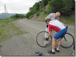 of a long ride, I put my bike in the car and we drove to where I had turned around on my previous trip. That way I could continue further. Elena and Ramaz our driver would head up the road and we would eventually catch up with each other. By now Ramaz is an expert at helping me put together my bicycle so I was soon on my way.
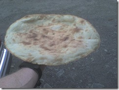 On the way we stopped at a roadside bakery and bought some Lavash – Georgian bread. Only about US$ 0.75 and enough to fuel you for the whole day. It was warm and fresh, absolutely delightful. I must say that the Georgians and Armenians have the best bread.
I had made a strategic error by not dressing for the mountains. It was sunny and 37 C the previous day, and the forecast was similar for today. When we left Tbilisi that forecast seemed appropriate but once into the mountains it was different. As I started to ride the skies darkened and it began to lightly rain. I should have known better from the time I mountain biked the Rocky Mountains from Canada to Mexico since the weather can change in a few minutes when you are in the mountains. I would regret my oversight.
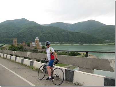
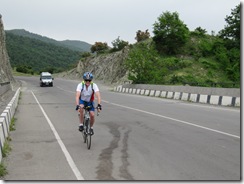 The road was lightly trafficked and it was great to be on my bike outside again—too many hours spent on my trainer in the hotel room lately! Elena and Ramaz drove past me and later go the photo to the left when they stopped to get a photo of the beautiful fortress at the edge of the river.
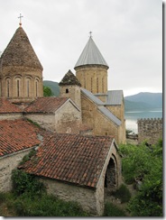
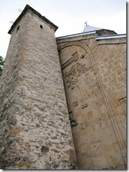
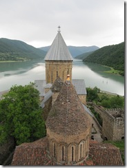
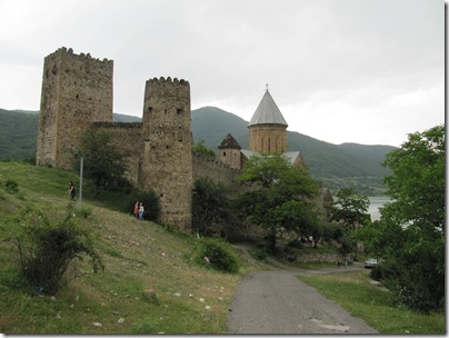
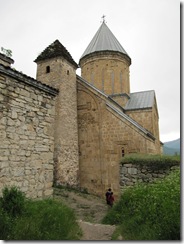
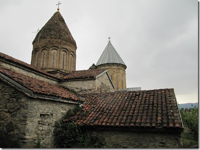
Ananuri was a castle and seat of the Duke of Aragvi, a feudal dynasty which ruled the area from the 13th century. It was a very popular place for tourists with several buses in the parking lot. So of course we stopped and went exploring. The photos below show what we found.
We followed the path down to the entrance. As we ascended the stairs to our right was the entrance to a large church—one of two on the site.
As we entered the church there was a Sunday service on. We could see the priest with two alter boys and an assistant through the open door to the sanctuary. There was the most beautiful singing coming from I don?t know where. No instruments, just angelic voices praising God in the beautiful Georgian language. As with all other Georgian churches there was no seating, the devout standing or even kneeling on the hard stone floor for much of the service. I don?t know how they do it. Interestingly, it was almost exclusively women who kneeled, their heads covered with a scarf to show respect. There was a sense of reverence and soulfulness that one does not find in many churches in the West.
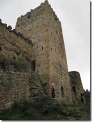
Elena and I explored the compound, climbing up the walls and high into one of the towers on the outer wall. We could glimpse the lake and the area through the small windows?pity that they did not make a proper viewing platform. A young man, being testosterone laden as they are, climbed up onto the rim of the tower.
 |
 |
 |
 |
After the visit I came out and found my bike protected by a typical Georgian dog. 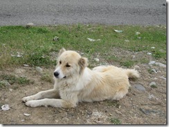 With its wagging tail it would not have frightened off anyone, but he was supported by Ramaz so between the two of them my bike was very secure.
I headed up the road and had a very nice ride, until the rain started. I passed people selling buckets of peaches and other fruits, shepherds herding sheep, all the while enjoying the sights of the valley around me, and the mountains ahead. It is such a stunning place.
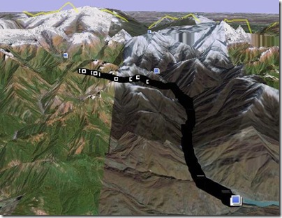
Unfortunately, I was getting very cold and so after two hours of riding I called it a day. I was at the foot of the hills heading up to Guldari ski fields and it transpired I had stopped in the right spot. It wasn’t the climb up the mountain that would have got me, rather, the cold rain and 2000 m altitude would have proven too much. Pity it wasn’t the day before with the sunshine and 37 degrees. I stopped at a roadside booth and shortly afterwards Ramaz and Elena arrived. The map below shows where I got to.
After disassembling my bike and storing it in the boot we continued on up to Guldari. I was last here in winter for skiing and it was much nicer then since we had clear skies and views that went on forever.
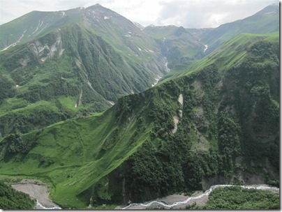
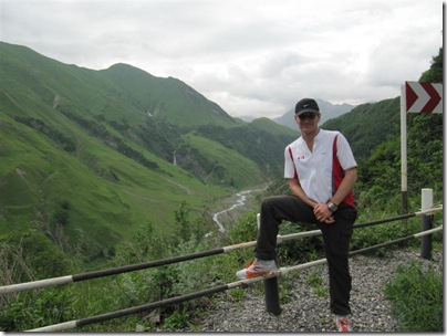
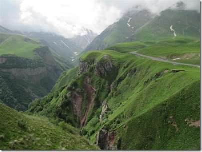
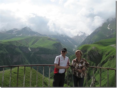
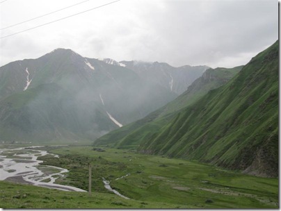
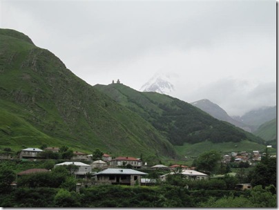
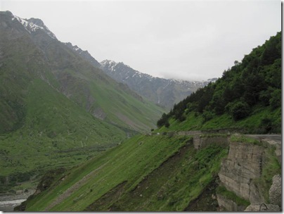
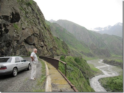
We decided to press on to the Russian border and it was interesting how the road deteriorated after Guldari. Shows their emphasis of keeping the ski fields open. There was an amazing scenic stop past Guldari which we stopped at, but got better photos when we went back later in the day when the sun had come out. The photos below show the mountains we were in, mostly taken in the afternoon.
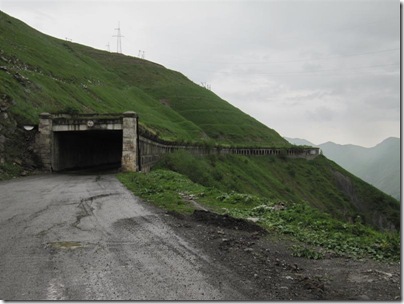
As we continued climbing as we headed north. We passed through an avalanche protection area which you can see on the photo below. I was impressed at the skill of the Russian engineers who pushed this road through the mountains two hundred years ago.
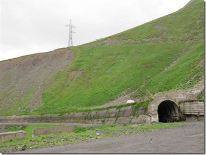
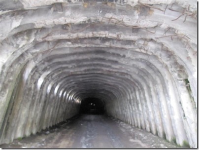
As we got higher we came across of number of completely enclosed avalanche tunnels. These looked very old and Ramaz postulated that some pre-dated the Soviet invasion. I would believe it. These were very long as the photo below shows.
When I said to Ramaz that these looked very unstable he said not at all and he drove inside one. I got the photo below and if you look carefully you will see the reinforcing steel hanging down from the top where the concrete had fallen away. Very disconcerting for an engineer to see.
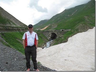
There were other examples of old Russian engineering, including arch bridges such as that shown below. There was also snow in places, even though it was late June.
There were a number of villages in the area, and I wondered what these people did in winter as there must be extended periods when the road is closed. Even in summer the place was empty of people.
There were large watchtowers, or the remains of them, at irregular intervals along the road—obviously used to warn about invasions as this was the main way from the north into Georgia.
The road narrowed and followed along the cliff of the gorge as we got higher and closer to Russia. I noticed at a point that the rivers were now running north rather than south which meant that we had crossed the divide of the mountains.
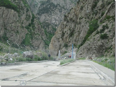
Finally, in the middle of nowhere, we came across a brand new large building under construction. This was the Georgian border—currently closed. In fact, just the previous week the president of Armenia had asked the president of Georgia to reopen this road as it was the shortest route from Armenia to Russia. It was clear that this was all being orchestrated as the Georgians were making a very large investment in anticipation of it reopening. The photo below shows as far as we got.
We turned around and headed back towards Tbilisi. The weather was improving and by the time we neared Guldari there we saw sunshine and blue skies. Pity I didn’t have that in the morning.
The Georgian Military Road is such a stunning place to visit, I’ll have to do yet another trip here with my bike and continue to press north. At least now I know what to expect, both weather wise (changeable) and road wise (very poor in places – better suited to a mountain bike).

wow. Awesome scenery!